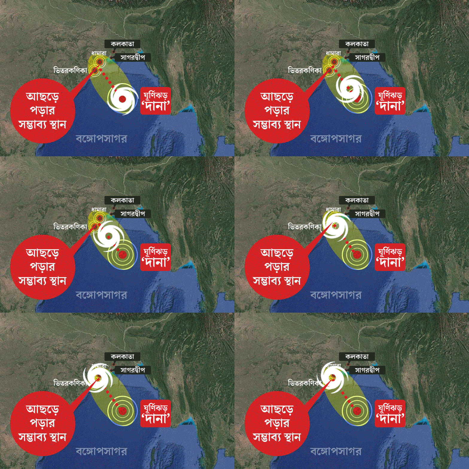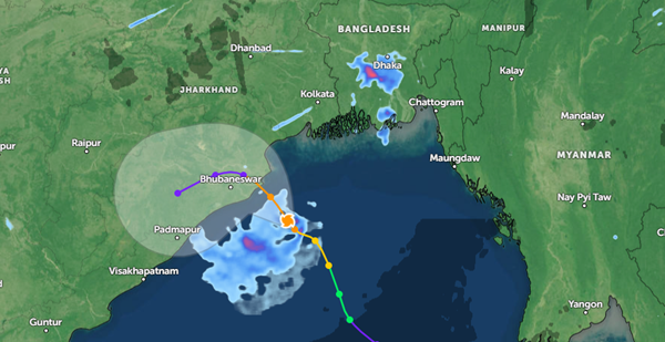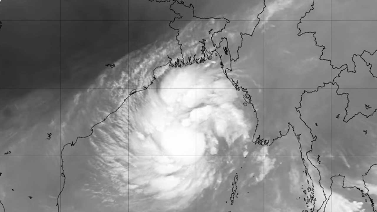
The deep depression over the east-central Bay of Bengal and adjoining areas has moved further west-northwestward and intensified into a cyclonic trough. Due to this, all sea ports of the country have been asked to display remote warning signal number three.
On Wednesday (23 October) the information was given in the Special Notice-4 of the Bangladesh Meteorological Office.
It is said that the cyclone is 695 km from Chittagong seaport at 6 am today (23 October 2024). Mr. 620 km from Cox's Bazar seaport in South-Southwest. 695 km from the sea port of Mongla, in the south-southwest. South-South-East and 645 km from Payra seaport. It was located in the south-southeast. It may move further west-northwestward and intensify.
54 km from the center of the cyclone. Among them, the maximum sustained wind speed is 62 km per hour, which is 88 km per hour in the form of gust or gale. increasing up to The sea is very rough in the vicinity of the cyclone center.
Chittagong, Cox's Bazar, Mongla and Payra sea ports have been asked to lower remote warning signal number one and display remote warning signal number three.
All fishing boats and trawlers operating in North Bay of Bengal and deep sea have been asked to proceed cautiously close to the coast until further notice, so that safe harbor can be reached at short notice.
Weather and Climate Change Researcher Mustafa Kamal said that although the cyclone hit the coast of West Bengal state in India, its impact will be good on the coastal districts of Khulna and Barisal divisions. It may rain in different parts of the country today. Heavy rain may occur along the coast.


