Beta Edition
Saturday, 25 Apr 2026
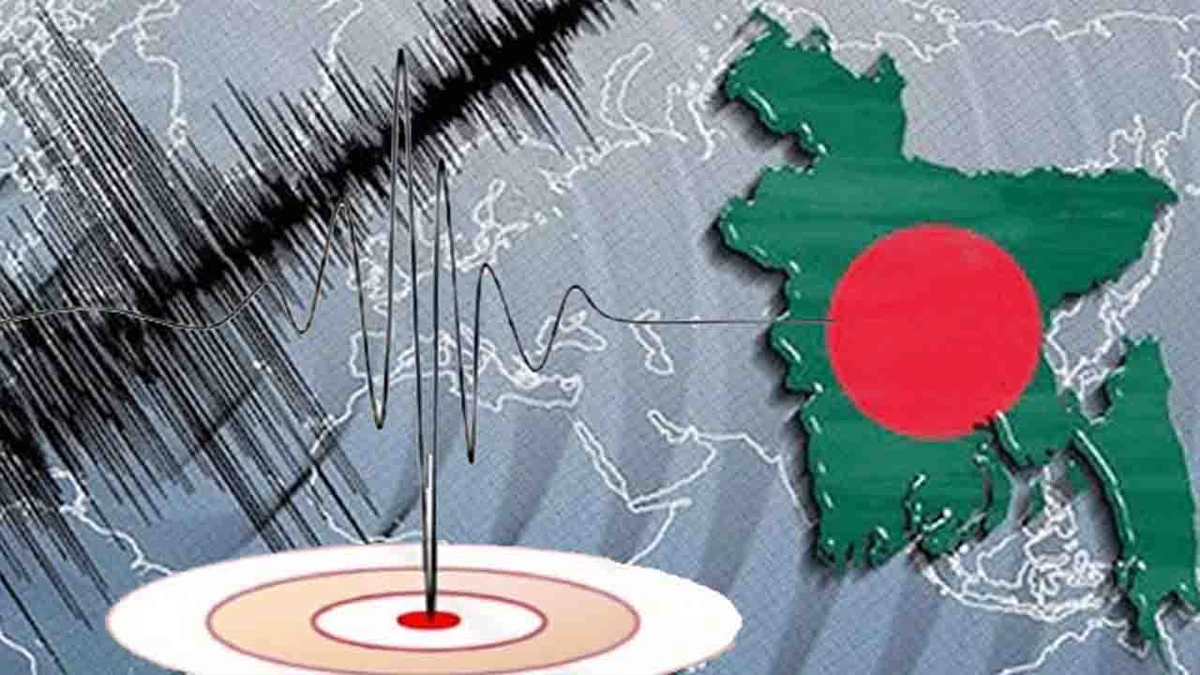
The fear of the big tremors of last Friday's 5.7 magnitude earthquake is still etched in people's minds. As the tremors did not subside, different areas of the country were shaken three more times from Saturday morning to evening. The previous day's earthquake's epicenter was Madhavadi in Narsingdi. And the epicenter of the tremors on Saturday morning was Palash in Narsingdi; twice in the evening, one in the capital's Badda, and another in Narsingdi. In total, four earthquakes were felt in the country in a span of 31 and a half hours.
Experts are predicting a major disaster in the form of repeated earthquakes in a short period of time. They say that all four earthquakes are 'foreshocks'. Before the big tremor, the pressure on the plate increases, and small tremors are an indication of that pressure. Energy is being stored in the interior of the earth. The situation needs to be monitored for a few more days. Therefore, they advise immediate preparations.
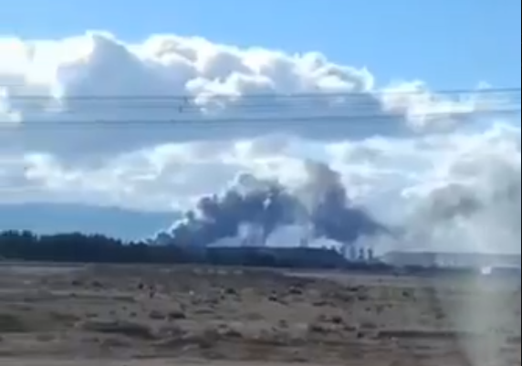
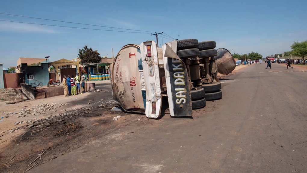
The epicenter of the 5.7-magnitude earthquake was located in Madhavadi, 13 kilometers from Dhaka, at 10:38 am on Friday, with the epicenter 10 kilometers below the surface. The duration was 26 seconds. At least 10 people lost their lives in the incident in three districts, and more than 600 were injured. Many buildings in Dhaka cracked and tilted in some places. According to the US Geological Survey, about 70 million people in Bangladesh felt mild or light tremors on Friday.
Then, another mild earthquake occurred at 10:36:12 am on Saturday. Its epicenter was Palash in Narsingdi. The magnitude was 3.3 on the Richter scale. On the same day, Saturday evening, two earthquakes occurred in a row. Among them, an earthquake measuring 3.7 on the Richter scale occurred at 6:06:4 pm.
Its epicenter was in Badda in the capital. A second later, at 6:06:05 PM, a second earthquake occurred. Its magnitude was 4.3 on the Richter scale, and its epicenter was in Narsingdi.
Experts have long said that Bangladesh is at risk of major earthquakes as it lies at the junction of two plates. In addition, the changing speed of rivers has created a risk of major earthquakes in the country.
Analysts fear that a magnitude 7 earthquake within 100 kilometers of Dhaka could result in 200,000 to 300,000 casualties, 500,000 to 700,000 people stranded, and 35 percent of buildings in Dhaka city could collapse.
Analysts say it may not be possible to avoid major earthquakes, but steps can be taken to minimize damage, including testing the quality of buildings, segregating them based on risk, and warning citizens, as well as holding regular drills.
Syed Humayun Akhtar, a former professor of the Department of Geology at Dhaka University, has been working on earthquakes for decades. While explaining the risks in Bangladesh, he said that the cause of the earthquake in Narsingdi is the change in the position of the Indian plate and the Burmese plate underground. However, there are many sub-plates active in many places outside of this. The places where one plate comes close to another plate and mixes or pushes or cracks are formed are called fault lines. There are several such fault lines in Bangladesh. When these plates move or start moving or start pushing one another, a kind of energy starts accumulating. The energy of magnitude 8.2 is still accumulated. It can be seen at any time that an earthquake of a larger magnitude has occurred.
Experts say that there are two main sources of major earthquakes in Bangladesh. One of them is the 'Dawki Fault', which extends from the foothills of the Shillong Plateau in India to the Mymensingh-Jamalganj-Sylhet region of Bangladesh. It is about 350 kilometers long. The other extends from Sylhet to Chittagong, the Chittagong Hill Tracts, Teknaf, which together extend to Sumatra in Indonesia. Experts consider this source to be very dangerous.
Dhaka would be the most vulnerable to any major earthquake. It is home to many buildings and settlements. The northeastern part of the country has been identified as 'high risk' zone 1; the central part as 'medium risk' zone 2; and the southwest as 'low risk' zone 3.
A joint survey conducted by the Integrated Disaster Management Program (CDMP) and JICA in 2009 indicated that if an earthquake of magnitude 7 or higher were to hit Dhaka, 72,000 buildings in the city would collapse; 135,000 buildings could be damaged.
Along with Dhaka, the Chittagong and Sylhet regions are also at risk of major earthquakes. According to a 2011 study by the Chittagong University of Engineering and Technology (CUET), 78 percent of buildings in Chittagong city are at risk. Analysts believe that this rate has not decreased much in the last decade and a half.
Experts say that at the moment, one of the most important tasks is to assess the quality of 2.1 million buildings in Dhaka and it is important to identify 'red buildings'. Before an earthquake, they should be marked in green, yellow, orange and red and necessary steps should be taken.